Since I’m on a blogging binge, I might as well bring out a topic that has been on my mind for quite a while. A lot of people have asked me why did I choose to accept teaching Regional Development, a course most associated with either urban planners, or human geographers, or even regional economists. I accepted it and have shaped it in the way I now teach it (see the syllabus for Fall 2015 here) because I strongly believe undergraduates in public policy (the degree we teach at CIDE Region Centro) need to learn spatial analysis, urban and regional development and economic geography. The reason why I use spatial analysis is because in my doctorate I did both political science and human geography, and as a result, I think both as a political scientist and as a human geographer. But it’s strange how many people won’t see the value of economic geography as a discipline and its applications in human geography.
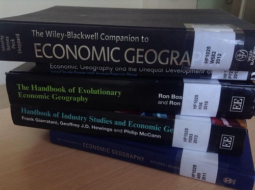
It doesn’t help that most people confuse economic geography with geographical economics, and that the quantitative turn in applied spatial analysis has led a lot of people to refuse engaging with the literature (Krugman, I’m not happy with you). Since I do multiple methods, including spatial analysis using GIS and to some degree, spatial econometrics, I don’t mind the quantitative turn. But ironically (and this surprised an economist colleague of mine), economic geography (particularly the analysis of economic activity and its spatial location) was primarily based on the work of the economist Alfred Marshall who discovered industrial districts in the leather and footwear industries in the United States of America, circa 1931. By the way, did I tell you my doctoral dissertation was a study of the leather and footwear industries in Mexico? Now you start to see why I’m still so much in love with the industrial districts literature.
Ironically, Marshall’s work as an economist strengthened the economic geography and geographical economics fields, even if he wasn’t a proper geographer. There are a large number of excellent contemporary economic and urban geographers (Trevor Barnes, Jaime Peck, Oli Mould, Ayona Datta, Gavin Brown, Roger Keil, Anne Mosher, Ann Markusen, Anna Lee Saxenian, Maryann Feldman, just to mention but a few) whose work has direct public policy implications. So I figured that, if I were to give my undergraduate students an advantage and an edge with regards to other graduates from public policy programs, it would be through applied spatial analysis and economic geography applications to policy analysis.
The only other courses I found that has some similarity with what I teach is this course on Public Policy for Metropolitan Regions and this one on the politics of urban processes. I am sure that many other scholars have thought similarly to me on this topic, but I feel that my syllabus is innovative and will provide my students with a broad skill set that they can apply to the study of any public policy.
It’s also relevant to my decision to teach spatial analysis and economic geography that CIDE (the Region Centro campus) has a subnational, regional analysis slant to research and an explicit mandate to conduct applied policy research that is relevant to regions, metropolitan systems and cities. So it also feels quite obvious that our graduates should have a strong component of spatial analysis in their public policy coursework. This semester will be an exciting one!

0 Responses
Stay in touch with the conversation, subscribe to the RSS feed for comments on this post.